Aplicações práticas de mapeamento UAV em topografia, cálculo volumétrico de terras, monitorização ambiental, arqueologia e sistemas de informação geográfica (GIS).
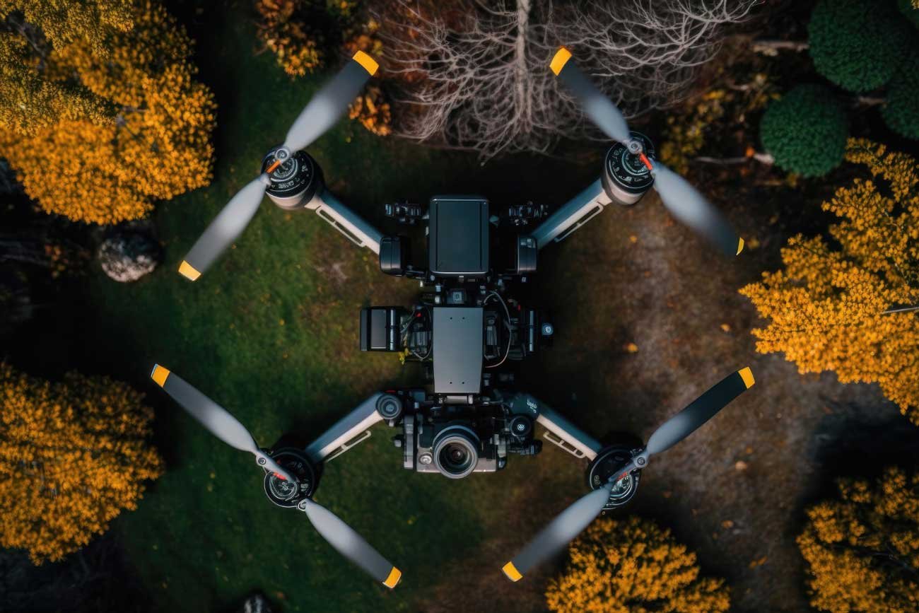
Aerial drone mapping (UAV/UAS mapping) captures high-resolution geospatial data from above the ground to generate orthomosaics, contour lines, and 3D digital terrain models.
Key applications include land surveying and boundary identification, earthworks cut-and-fill volumetric analysis, precision agriculture, environmental habitat assessment, forestry and mining stockpile tracking, infrastructure inspection, cultural heritage documentation, and GIS cartography updates.